
Every successful construction project begins long before the first design is drawn — it begins with understanding the land. Envision Group’s Logistics Survey service provides developers, engineers, and planners with precise, comprehensive, and field-verified survey data that forms the factual foundation of every major project decision. From digital topographical mapping and boundary verification to utility location and site condition analysis, we go out into the field and bring back the ground truth your project depends on.
We begin by thoroughly understanding your project requirements, design intent, and the specific survey data your engineering and planning teams need — defining the precise scope, coverage area, accuracy requirements, and deliverable formats before our field teams mobilize.
Our survey team conducts an initial site visit to assess field conditions, identify access constraints, locate existing benchmarks, and establish a network of precisely positioned survey control points that will anchor all subsequent measurements to a reliable and consistent coordinate system.
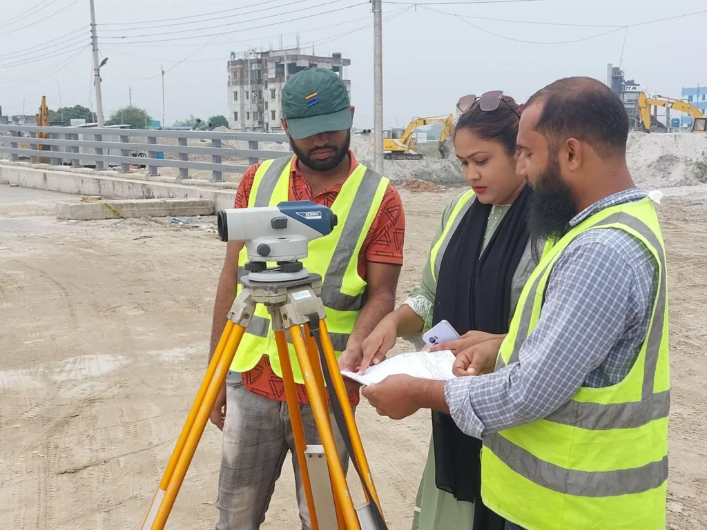
Using total station instruments, RTK GPS equipment, and digital levels, our field teams systematically capture all required topographical, boundary, and site feature data — working methodically across the entire survey area to ensure complete and consistent coverage with no gaps or missed details.
All raw field data is downloaded, processed, and rigorously checked by our office team — verifying measurement consistency, closing traverse loops, identifying any data gaps requiring additional field visits, and ensuring the processed dataset meets the accuracy standards specified for the project.
We transform the processed survey data into a complete set of finished survey outputs — including detailed topographical maps, contour plans, boundary drawings, cross-sections, longitudinal profiles, and fully georeferenced GIS layers — produced in AutoCAD and GIS formats ready for immediate use by design teams.
We compile a comprehensive survey report documenting all field methods, instrument calibrations, control point coordinates, accuracy assessments, and data processing procedures — then formally hand over all drawings, data files, and reports to the project team, remaining available to provide technical clarification and support throughout the design and construction phases.